I got a characteristically late start on Friday, after having a very nice meal. Regardless of how well I pack, it always takes a bit of time to pre-flight the moto-bike and to get all of my cold weather gear on. Given the weather that night, and what I expected on the road, I wore my LD Comfort gear and the Gerbing's [heated] jacket, trousers, and gloves. I had purchased a little ascot-like thing from Aerostich on my last order, so I tried it out, as well (I like it – it keeps the breeze from coming in under my helmet, which keeps my neck warm).

I shoved off about 2130, heading north to Frederick. My route plan had a few BBQ joints (Smoke Chasing Grand Tour) and virtual geocaches, but the chilly air and lateness of hour caused those to fall off the plan in real time – it’s always useful to save a few places for next time!
I got to the Hampton Inn – Harrisburg West about XXXX after an uneventful ride. The temperature was pretty chilly – it dipped to the high 20’s (deg F) at one point, but stayed above 33 deg F for most of the ride.
It turns out that I’ve stayed at that Hampton Inn once before, on a really neat trip to Hershey Park. The hotel lobby has been completely rebuilt in the time between the previous stay and now – it’s very nice.
On Saturday morning, I tried to find a cache very close to the hotel. I thought it was a bit chilly (I didn’t bring a street-clothes jacket on this trip), but figured I could gut it out for the short hike over to the cache (which wasn’t there – DNF). There was a bit of a breeze, so the wind chill was noticeable. When I got back to the hotel, I packed up and got ready to go. The bike thermometer read 33 deg F, so with that slight wind chill, it was below freezing. Small wonder that I thought it was a bit brisk.

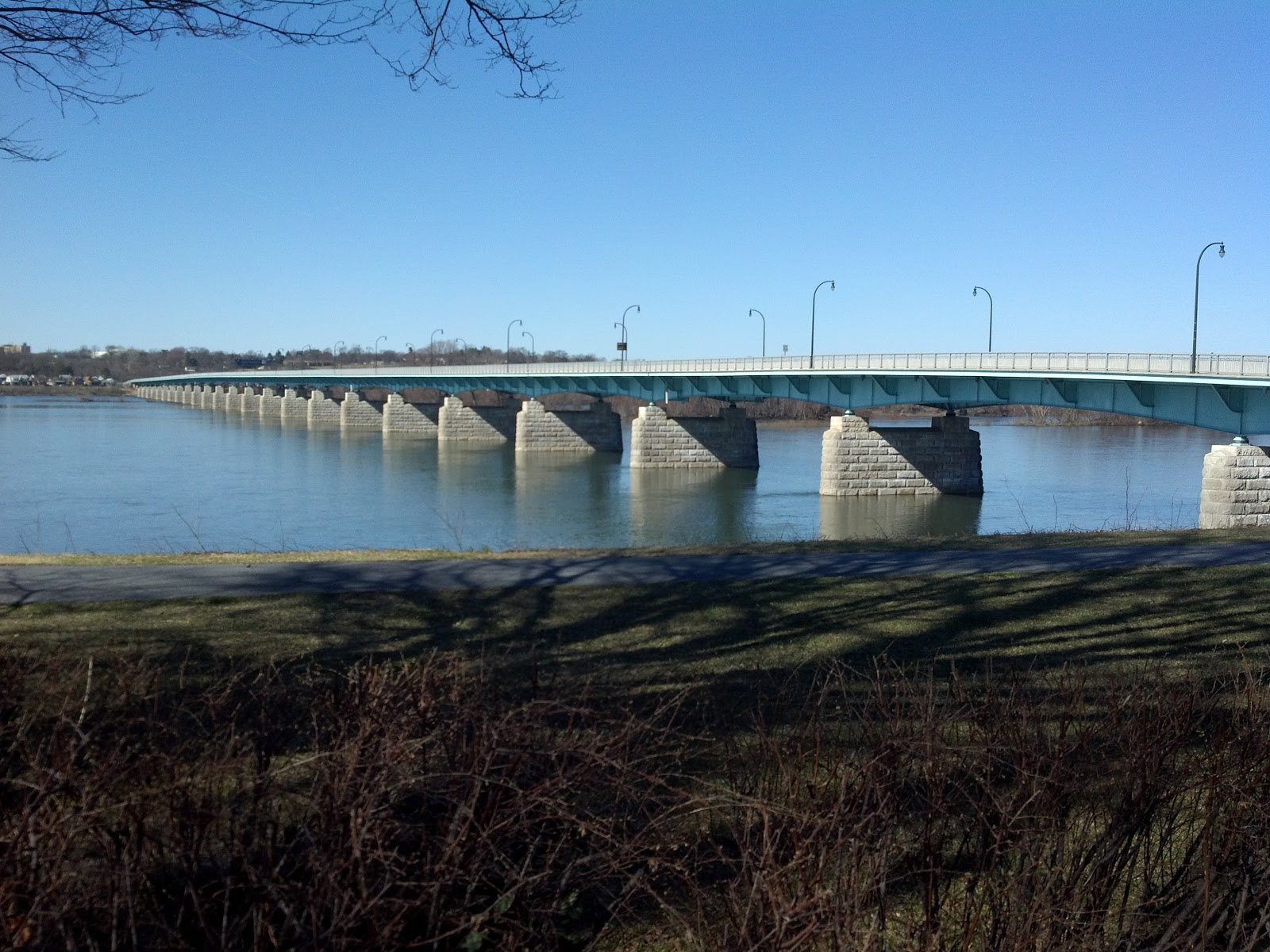
I headed in to Harrisburg on a mission to bag the Camp Curtin BBQ and to log the virtual geocaches in town. Harrisburg is a very interesting town. The north part of town is in the post-development, post-blight phase, with many blocks sitting completely idle. Closer to the core of Harrisburg is the state capitol and state government buildings. The area immediately downtown is pretty nice, and there’s a nice waterfront area (at which I dawdled a bit).

And, as promised, here's Camp Curtin Bar-B-Que Station. The area immediately around the Camp needed an influx of capital, but the Camp itself looked just fine. I didn't know how to interpret the CLOSED sign on the door -- it wasn't immediately apparent whether that meant "CLOSED for the day" or "CLOSED forever".
Camp Curtin (the camp, not necessarily the Bar-B-Que Station) has an interesting history....

Pennsylvania State Capitol:

After Harrisburg, it was time to head southwest. I stopped off to exchange travel bugs at a travel bug “motel”, then continued through Boiling Springs and then southwest through Shippensburg and Chambersburg.


I'd read about this item of "road art", which is located near Shippensburg, so I stopped to take a picture. There's a stretch limo up on stilts at the same location...I save that photograph for next time.

This was my first Waffle House of the day; it's located on Route 11 in Hagerstown, MD:

...and here's Hempen Hill BBQ Bar & Grill (more Smoke Chasing Grand Tour):

...and this was my last Waffle House of the day (and of the entire trip):

Note that all Waffle House restaurants look alike...if it weren't for photograph metadata and notes, I wouldn't be able to keep them straight.
I had planned a very ambitious ride for Saturday, and had to shed a few stops to maintain a decent pace. I really wanted to go to Sharpsburg (to get a photograph of the post office), but that detour would have been costly in terms of time, so I kept heading southwest to pick up Interstate 68.
On the way, I needed to get a picture of any sign for the C&O Canal National Historic Park. This isn't the sexiest of signs, but it'll do.

I departed I-68 to head to Little Orleans, MD and Paw Paw, MD – what a trip!

This isn't the smallest post office I've seen since I've started chasing them (Oriskany, VA fills that bill nicely), but it's pretty close.
Because of the direction from which I was approaching Paw Paw (the north, via Little Orleans), I wound up on some decent gravel roads waaaaay out in the country, right in the middle of a huge state forest. I noticed there were a few caches out there, so decided to go for one in particular. I load up, in the Navigator IV, all the caches along a route on the off chance that I’ll be near something interesting and have a bit of time for exploration. This was one of those opportunities. I wound up finding a cache very close to an interesting site, and skipping the one that attracted me to that side road (it was another 150 meters or so of bushwhacking, which is harder to do when dressed for cold weather).
To say that the location and the view were breathtaking is to take something from the experience. This was definitely a "do 'gain".


I continued southwest to Paw Paw, to get the required post office photograph:

...then headed west to connect up with Interstate 68. I wanted to bag the post office in Ohiopyle, PA, but it was getting dark. By the time I reached the post office, I needed to light up the sign with the high beams, and light up the rally flag with a flashlight.

Not too bad, eh?
With the sun down, it was getting cold again, and I was ready to get something to eat and grab some z’s. I headed to the Hampton Inn in Uniontown, and grabbed chow at an Italian place across the street.

It was up to 35 deg F on Sunday morning, but the forecast was for a very nice day. I rode through Uniontown in the morning to get an idea of the place (it’s very interesting, in a good way). Uniontown has some connection with George C. Marshall – there’s a nice memorial park in his honor downtown.
I headed to Braddock’s Grave, which is located on U.S. 40, east of Uniontown. U.S. 40 generally follows a colonial-era path / road that later became National Pike. Colonel George Washington led men who built a 12-foot wide “road” through this area to permit the movement of British troops to the Pittsburgh area to defend against French and native attacks on British colonists. A section of this trail / road is plainly visible at Braddock’s Grave, which is really cool.

From Braddock’s Grave, I headed east to Fort Necessity. This is one of the places I need to revisit, to spend some time in the visitor’s / interpretive center.
I've been meaning to spend more time investigating U.S. 40; while riding east, I happened upon this old toll house:

I headed south to get a photograph of the post office at Accident, MD:

...and Archie’s BBQ...

Continuing south and east, I grabbed Kitzmiller, MD (where I had a very nice, but brief, stop at the Potomac River) then headed into West Virginia.


The road from Kitzmiller to U.S. 50 has been on my list of roads to ride for a while, now, so it was nice to finally ride it.
I needed to grab a photograph of the post office in Romney, and it was time for a Blizzard™ at the Dairy Queen there, so a stop was in order.
Heading east from Romney, I wanted to make a stop in Unger, WV. The address given at roadsideamerica.com was incorrect (I believe), which caused me to take a long (but exceptionally pretty) detour. Doing a little beside-the-road research on the *directions* to the place told me where the turn was, and I finally found the place, located just north of the West Virginia – Virginia line.


After I got my pictures, I headed for Winchester, then east on Route 7 to Wolf Trap National Park for the Performing Arts – my last bonus photograph of the trip.

Sunday’s weather was spectacular. The temperature got up to 68 deg F, which was perfect.
All-in-all, it was a wonderful weekend. I was able to see Harrisburg a bit more, and I got to visit a few more places that are now on my “do again” list (specifically Little Orleans, Paw Paw, Ohiopyle, Kitzmiller).
