

It's only been three and a half months so far, but 2025 is shaping up to be another big travel year.
Donna and I went on a trip to Arkansas to fill in a few more geocaching counties -- lots of fun and some great sightseeing.
Then, in late January I headed off to the Alabama and Texas events. I nearly completed Texas -- it'll have to wait until 2026 to get wrapped up.

I kept forgetting to do a late 2024 summary, so here it is (late):


It was 25 years ago, almost to the minute, that Opie came into my (and Lorraine's) life. It was Christmas day, and we were on the road from Northern Virginia to Niceville, Florida. We had stopped at the Denny's just off the freeway to get some dinner. We finished our meal (I had the turkey dinner), and I headed out to the truck while Lorraine made a quick call.
When I got to the truck, I could hear a cat meowing. I said something to the cat, and she ran over to where I was standing. She was pretty insistent about getting attention. It was odd to have a small cat in a Denny's parking lot, so I went inside to see if anyone knew anything about this cat. They'd heard it outside throughout the day, but had to idea where it belonged.
I checked (unsuccessfully) at a nearby motel...still no clues.
So, we packed up the cat, and headed south.
After some amazing adventures without us, we picked here up (again) in Niceville on our way north (back to Northern Virginia), about a week later.
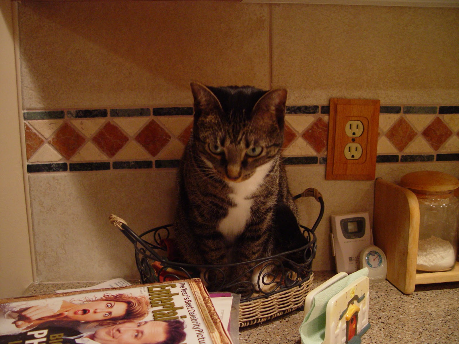
She lived with us for 17 1/2 more years. What a great cat!

I think it's funny how memories that are 60 years old are triggered by sounds and smells and sights. Over the last few days I've been in Yuma Arizona for a geocaching mega event, and have heard mourning doves throughout my stay here. It's a nice memory of my childhood.