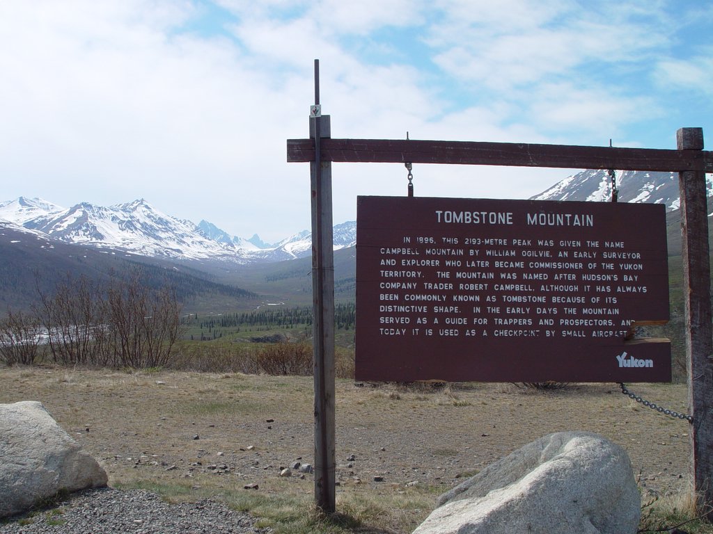
 We did a short (?) nature hike in the area around the Tombstone Mountain Campground, then headed up hill to do a little geocaching.
Tombstone Mountain is in the far background in this photograph.
 We did a short (?) nature hike in the area around the Tombstone Mountain Campground, then headed up hill to do a little geocaching.
 This porcupine was alongside the road until we approached, then it headed off the road and up a tree.
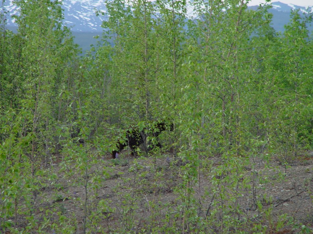 The stretch of road between the North Klondike Highway and Tombstone Mountain Park was remarkably rich in wildlife, right along the road.
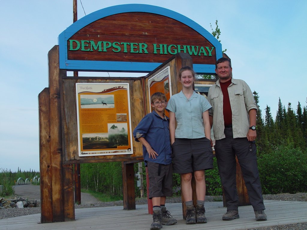 Here we are, at the southern end of the Dempster Highway, getting ready to start the next phase of our adventure.
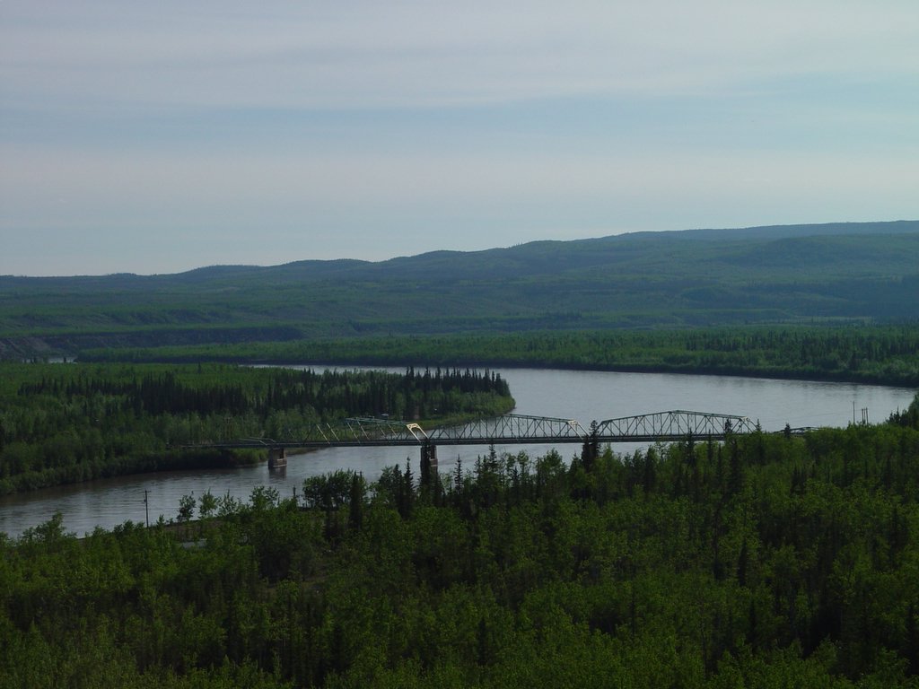
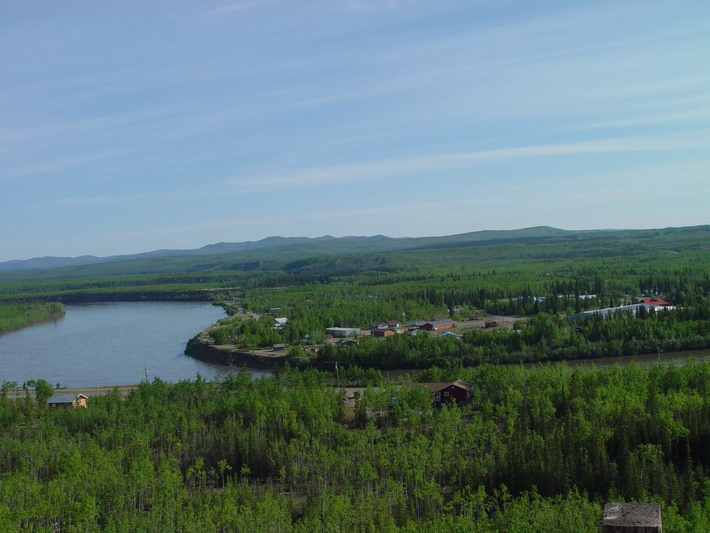 This is a portion of the community of Pelly Crossing, taken from the North Klondike Highway.
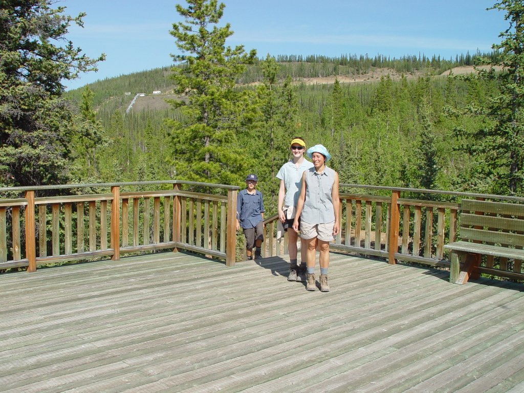 The roadside lookout is in the far background, on the left.
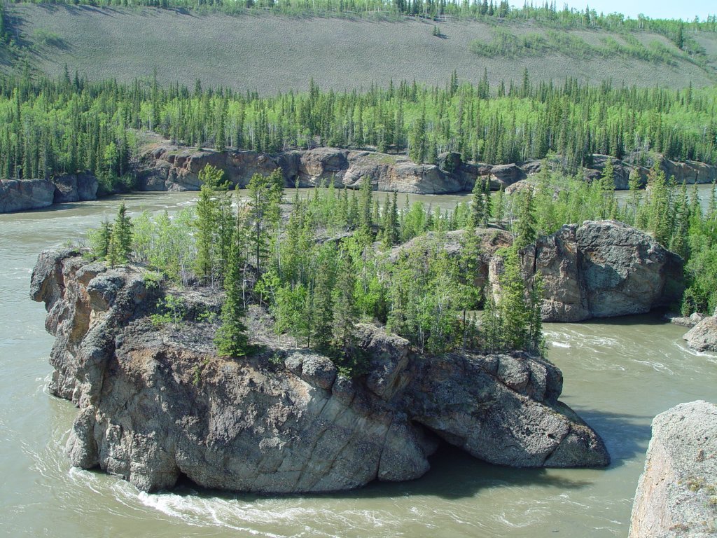 Here are the rocks that form Five Finger Rapids. Some man-made changes were made to slightly widen the channel to ease riverboat travel, but this is essentially what riverboat captains faced on their way up and down the river.
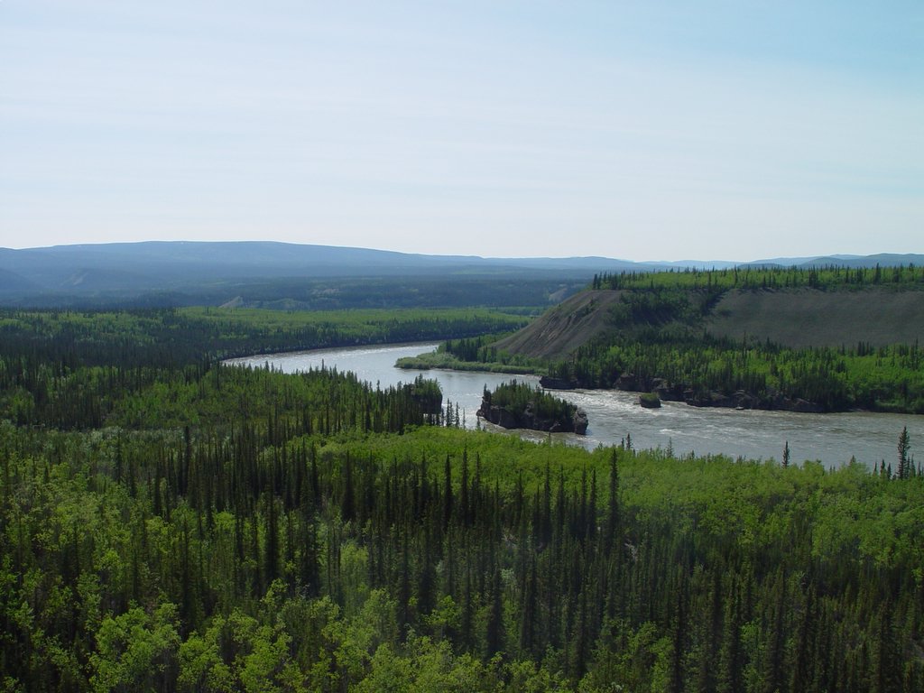 Five Fingers Rapids was another treacherous stretch of the Yukon River that travelers must negotiate. Steam powered sternwheelers "ran" the rapids going downstream, and were winched up one of the channels on the upstream trip.
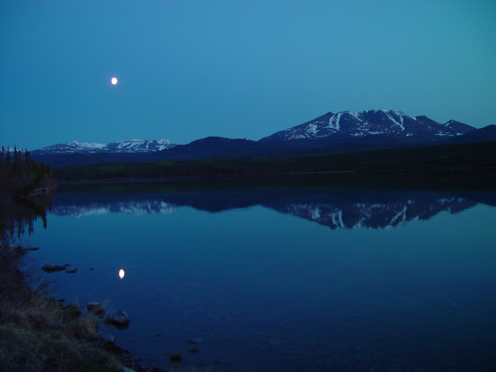 After an afternoon and evening of geocaching, and a great Mexican dinner at Sam 'n' Andy's in Whitehorse, we headed up the North Klondike Highway to find a place to bed down for the night. We stopped to find the geocache at Fox Lake (near where this photograph was taken), then headed to the Fox Lake Campground.
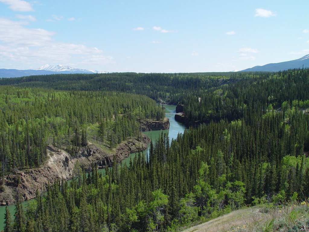 This photograph is taken from the roadside lookout / viewing area that I mentioned earlier. The footbridge is visible near the center of the picture.
 Here's a shot from the same bridge, looking upstream. Note the striking green water and the sheer cliffs. This was a considerable obstacle before the hydroelectric dam that created Schwatka Lake tamed the rapids.
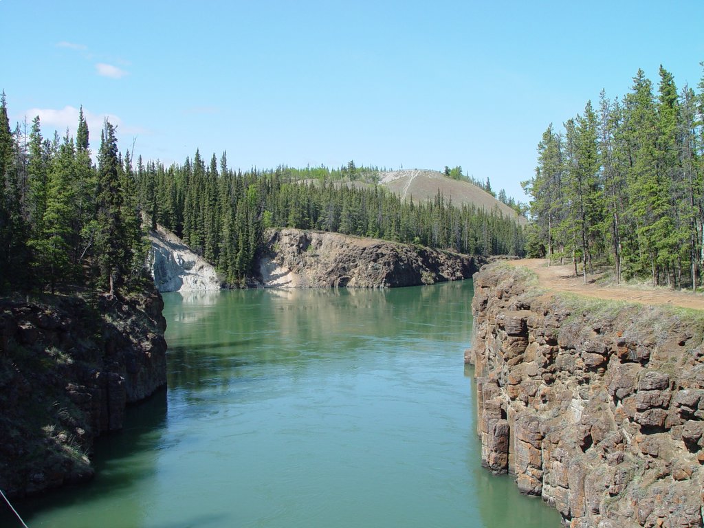 There's a footbridge that crosses the Yukon River at Miles Canyon; this photograph is taken on the footbridge, looking downstream.
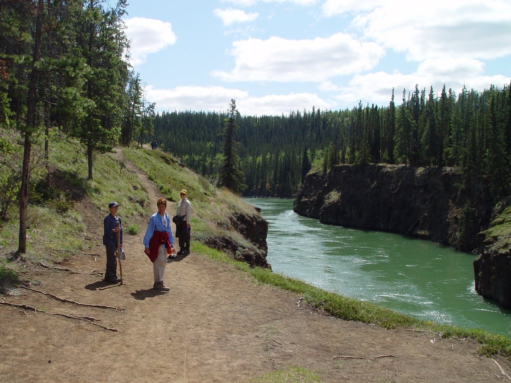 We packed up from our camp at Wolf Creek Campground, and headed to Miles Canyon to do a little hiking (and geocaching). That's the Yukon River to the right; we're hiking upstream to the ghost town of Canyon City.
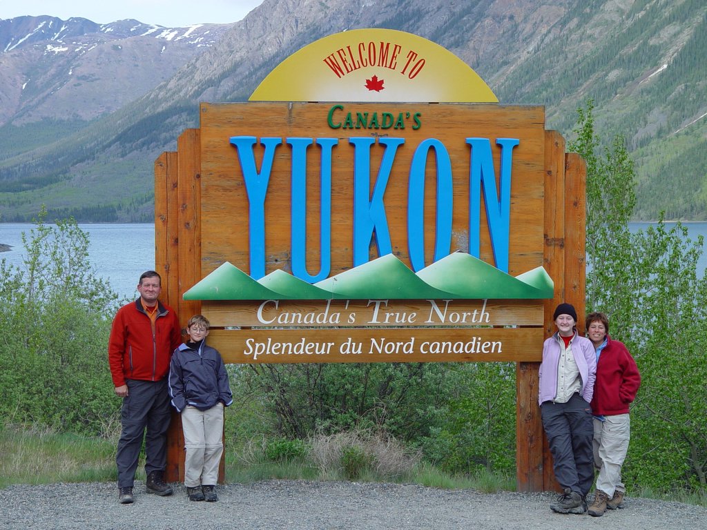 It was great to be back in Yukon Territory for Lorraine and me; this was Sarah's and Joe's first visit.
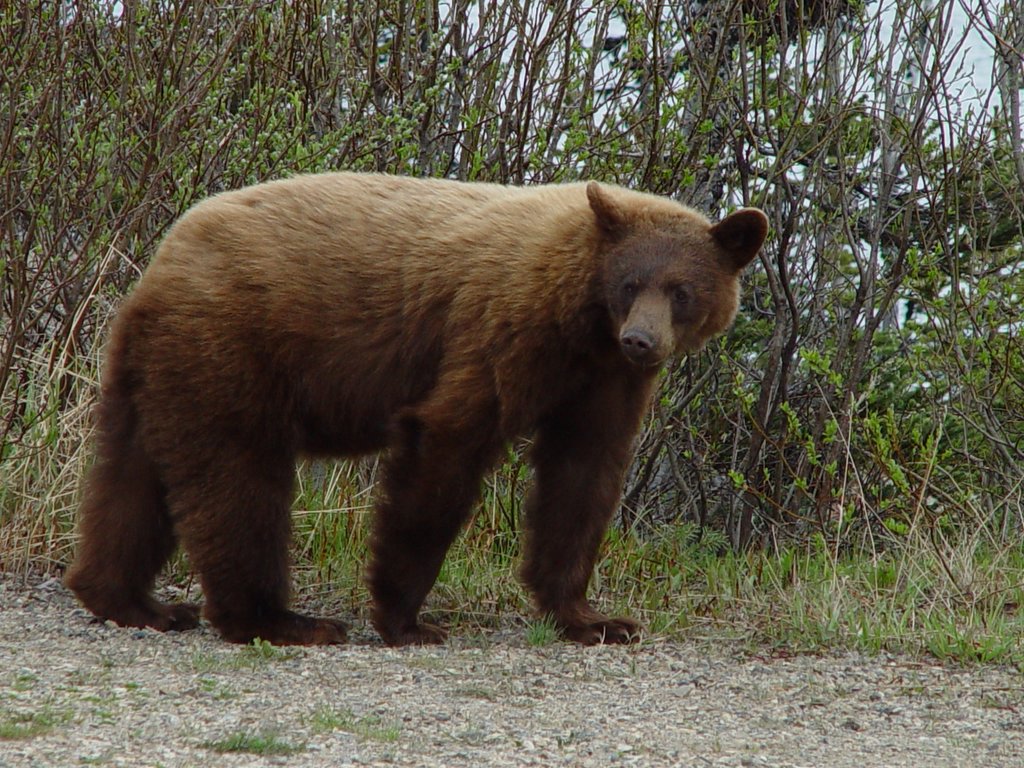 Pay no attention to this bear's color: it's really a black bear (and yes, it's very close). Nice looking specimen, eh?
 This was our first black bear sighting of the trip. We didn't need binoculars for this one.
 This is virtually all of Skagway. Some people do live on the hill on which this photograph was taken, and a few live up the Skagway River valley (to the left in this photograph), but there really isn't any other flat (or reasonably flat) land available.
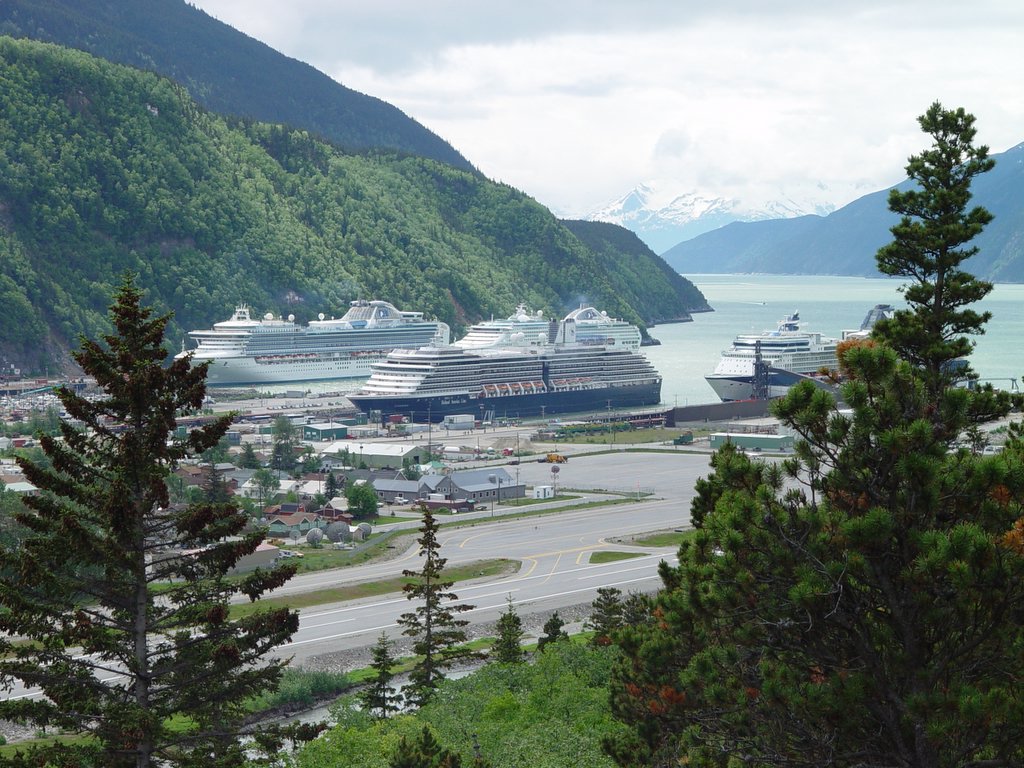 The tourists have arrived!
 This is a small roadside viewpoint area on the one-and-a-half lane road between Dyea and Skagway. In the center of the photograph is the area once occupied by the Dyea townsite.
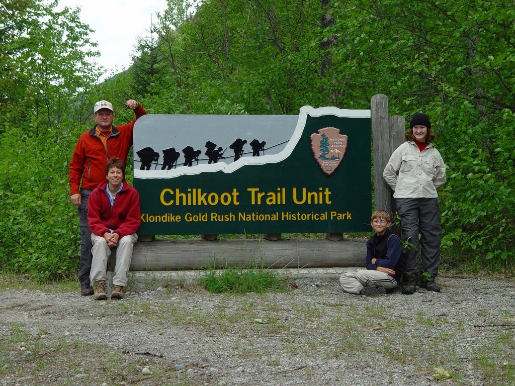 The Chilkoot Trail is on our Hikes We'd Like To Do list. It's a one-way hike, and it has what I'll characterize as unusual logistics requirements. It sounds like a wonderful hike, though, and well worth the arrangements that must be made to complete it.